Log in
All resources
Create a design
33,111 Free Images of Composite Map
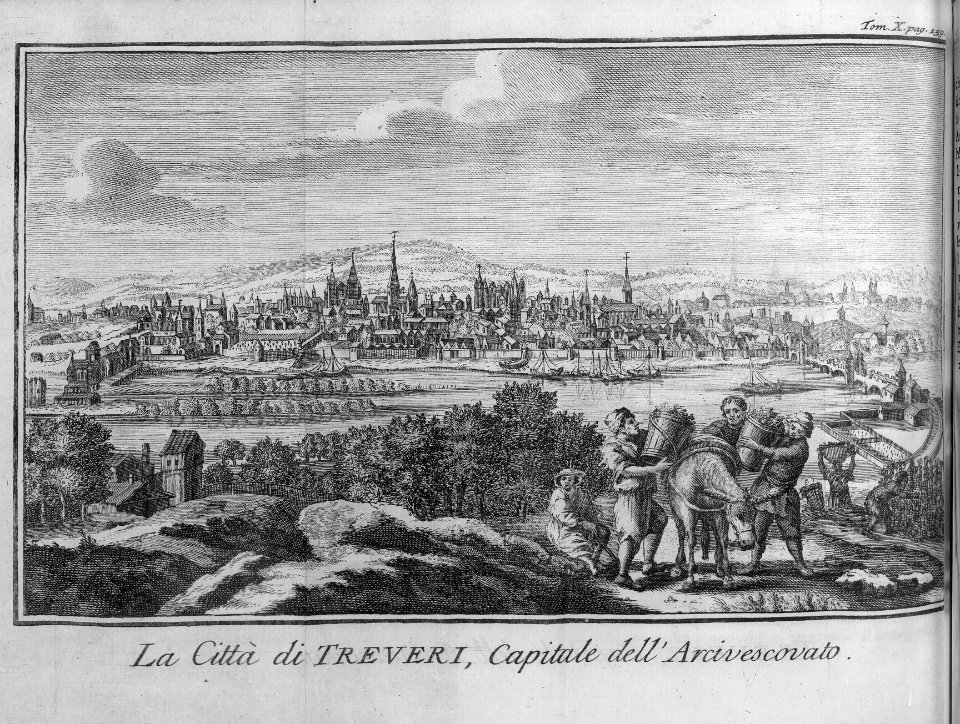
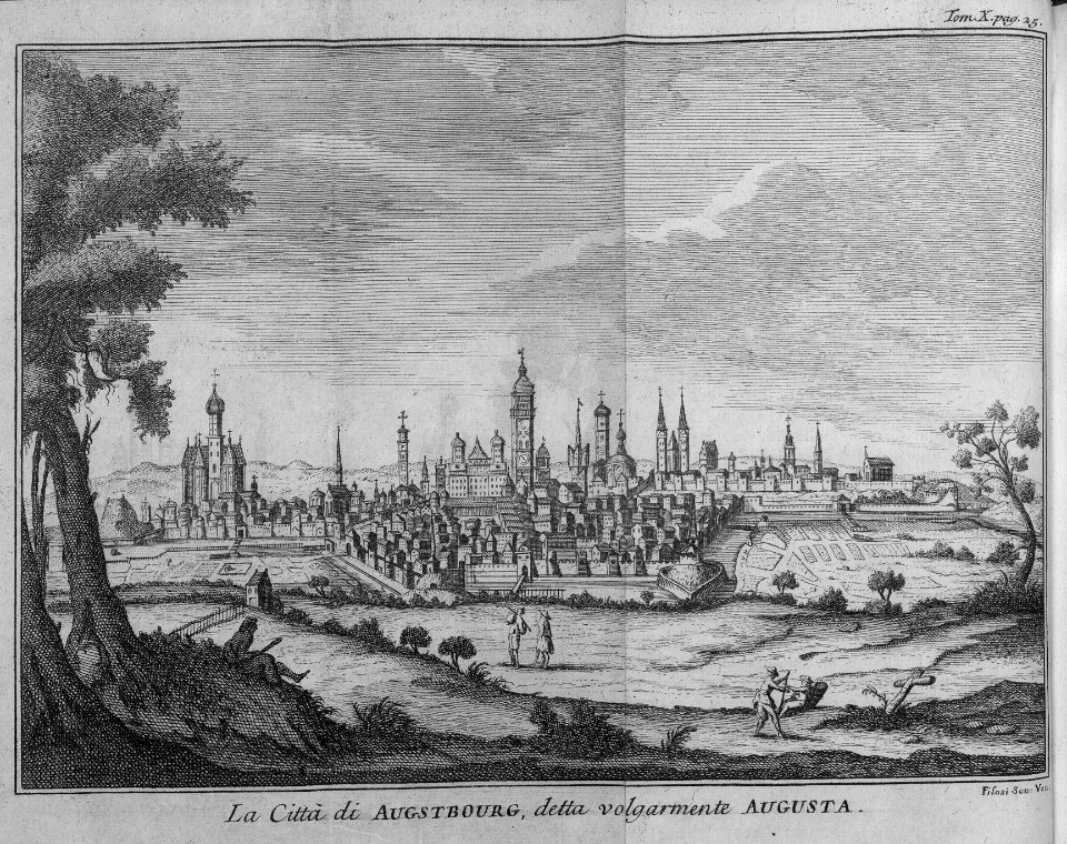
maps
grabados
fondo antiguo
cartography
cartografía
engraving
chalcography
calcografía
libros del siglo xviii
cartografía, mapas | cartography, maps
illustration
maps
illustration
maps
cartography
maps
cartography
maps
cartography
maps
cartography
maps
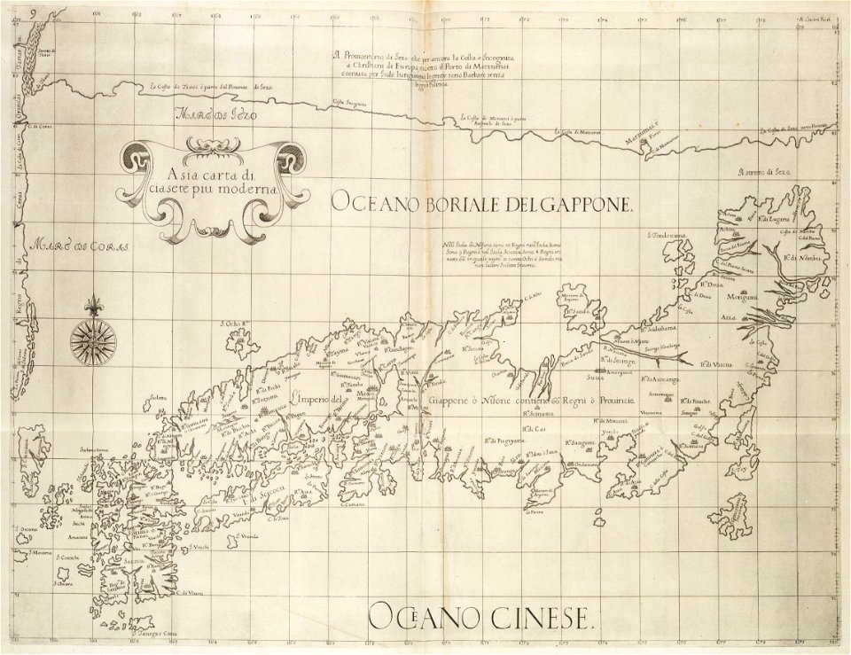
japan
maps
cartography
maps
cartography
maps
cartography
maps
cartography
maps
cartography
maps
cartography
maps
cartography
maps
cartography
maps
cartography
maps
cartography
maps
cartography
maps
africa
maps
cartography
maps
cartography
maps
cartography
maps
cartography
maps
cartography
maps
cartography
maps
cartography
maps
cartography
maps
cartography
maps
cartography
maps
library
maps
cartography
maps
cartography
maps
cartography
maps
cartography
maps
maps by willem and johannes blaeu
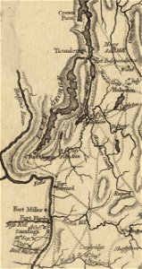
hudson valley
carte de france by guillaume delisle (1721)
philippe buache
fort ticonderoga
john burgoyne
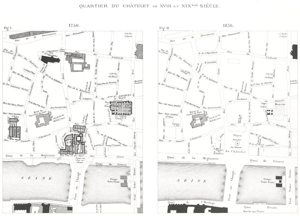
lithographs of paris
grand châtelet
merksem
lillo
maps made in the 17th century
gerard valck
prints from mémoires des commissaires du roi et de ceux de sa majesté britannique at the peace palace library
jean ignace de la ville
coats of arms of cities in aude
coats of arms of aude
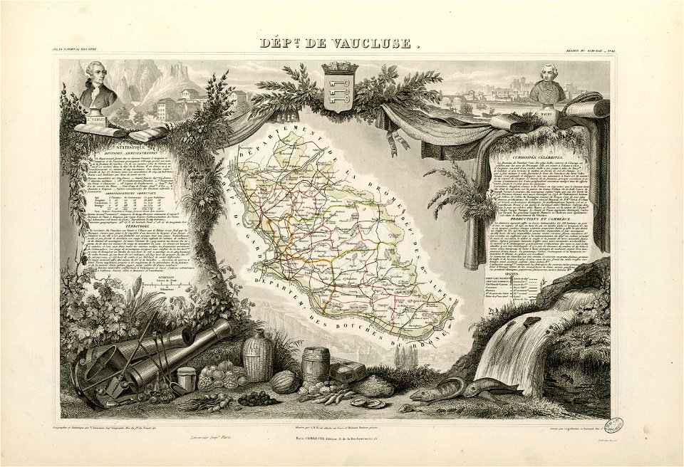
coats of arms of cities in vaucluse
works after joseph vernet
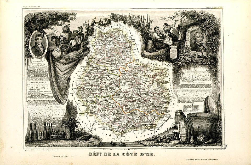
old maps of côte-d'or
lazare carnot
dutch 18th-century prints in the rijksmuseum amsterdam
hendrik de leth
lithographs of paris
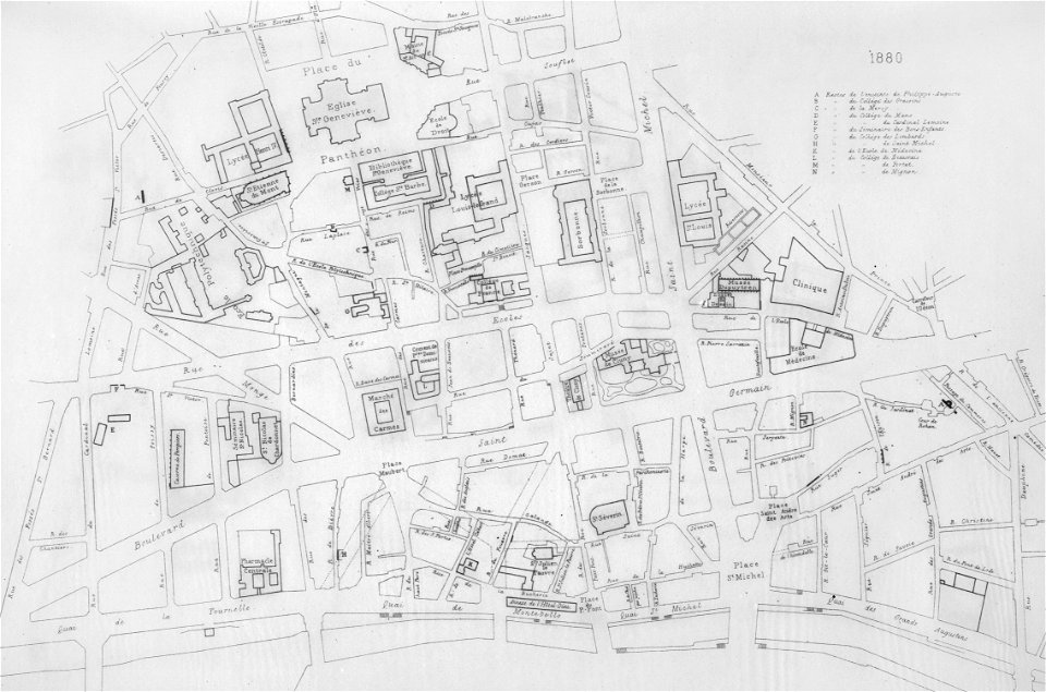
université de paris
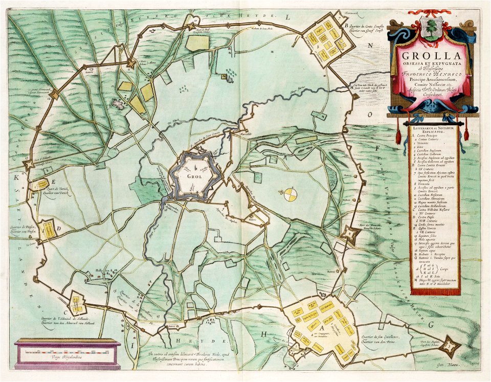
circumvallatielinie (groenlo)
coats of arms on maps
1867 engravings
new york city
maps made in the 17th century
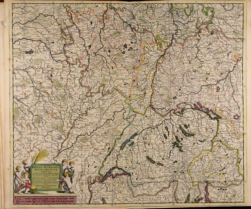
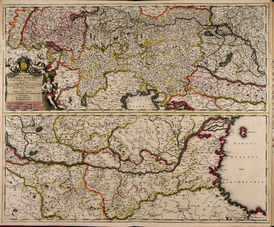
old maps of europe
maps made in the 18th century
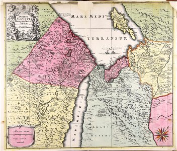
1720s maps of egypt
1822 in bavaria
ehrenbürg
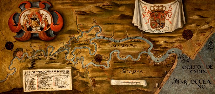
guadalquivir
1760 maps
maps made in the 18th century
gerard valck
voyage pittoresque de la grèce
i̇zmir in the 18th century
maps of the eastern mediterranean
bodleian library
maps made in the 17th century
cornelis danckerts (i)
lithographs of cities in the united states
1891 in seattle
maps made in the 17th century
jan janssonius
maps made in the 18th century
gerard valck
maps of the dutch east india company - madagascar
1598
new holland (australia)
1720s
maps of the dutch east india company - sri lanka
1765
trịnh lords
1665
18th-century maps of indonesia
banda islands
batavia
1740
18th-century maps of indonesia
1744
atlantis magni tomus tertius (biblioteca comunale di trento)
maps made in the 18th century
atlantis magni tomus primus (biblioteca comunale di trento)
maps made in the 17th century
maps made in the 18th century
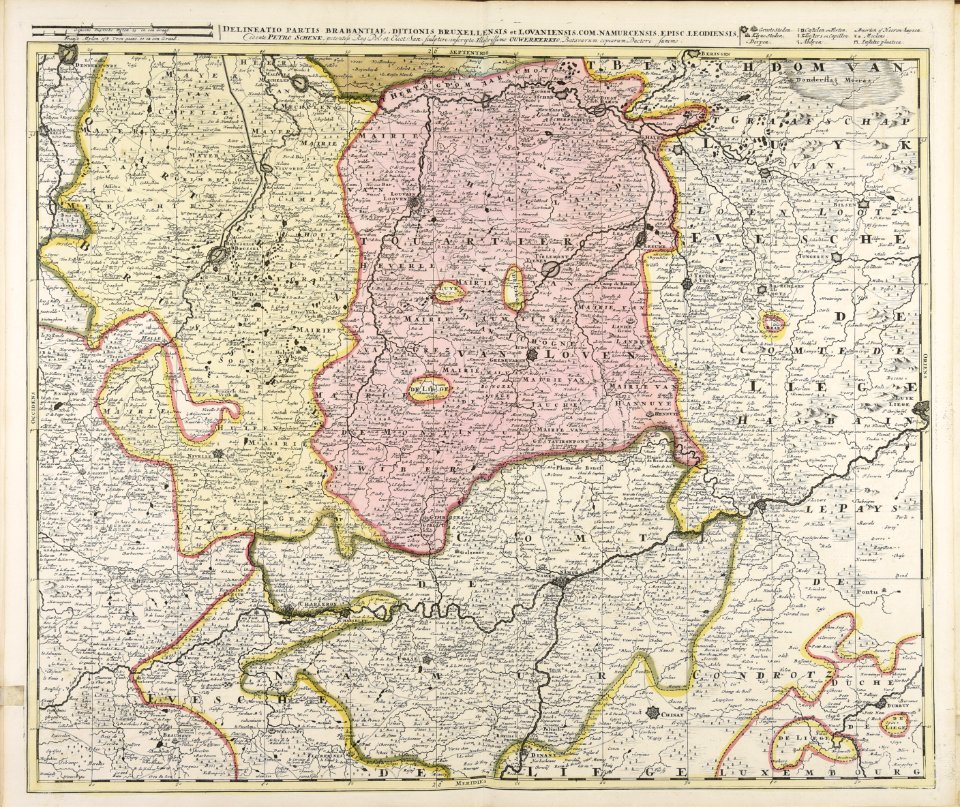
belgio
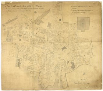
great rennes fire of 1720
old maps of rennes
geographical atlas for the 5-6 grades of secondary school (1941)
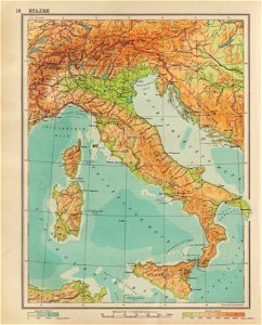
old maps of italy
maps made in the 17th century
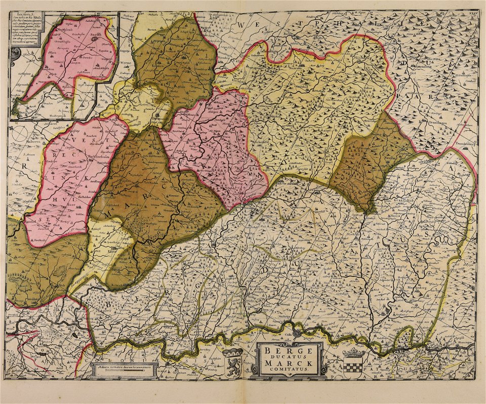
maps of the county of mark
old maps of the canary islands
1667
atlas van der hagen
copper engraving
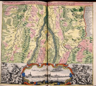
maps with cartouches
atlas van der hagen
maps with cartouches
copper engraving
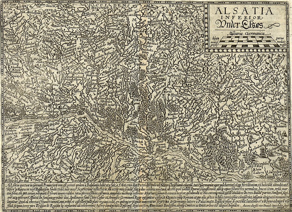
17th-century maps of france
maps with cartouches
maps with cartouches
old maps of malta
maps with cartouches
old maps of genoa
maps with cartouches
atlas van der hagen
maps with cartouches
old maps of italy
illustrations from the sea serpent by george roux
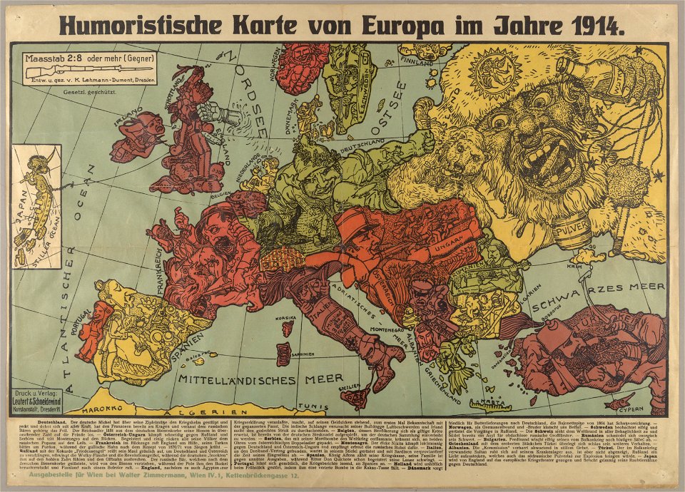
20th-century maps of japan
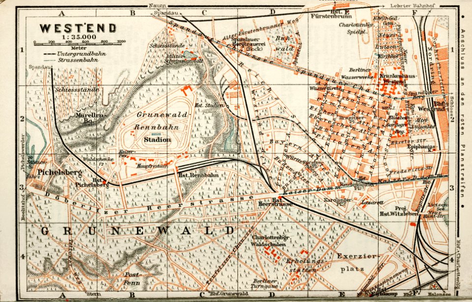
wagner & debes
1914 in berlin
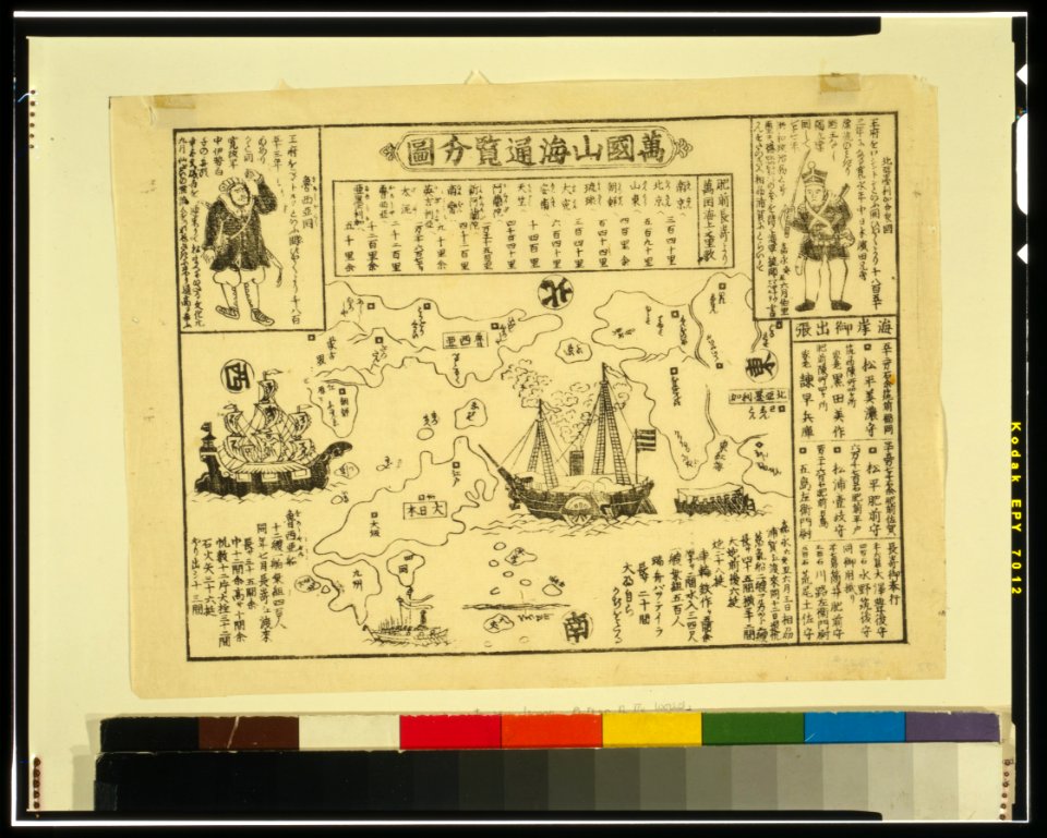
ukiyo-e by unknown artists
nagasaki-e
ukiyo-e by unknown artists
nagasaki-e
collections de la bibliothèque nationale et universitaire de strasbourg
matthias quad
atlantis magni tomus tertius (biblioteca comunale di trento)
maps made in the 18th century
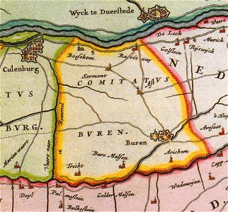
old maps of gelderland
gelderland
grand
bill
braun & hogenberg
copper engraving
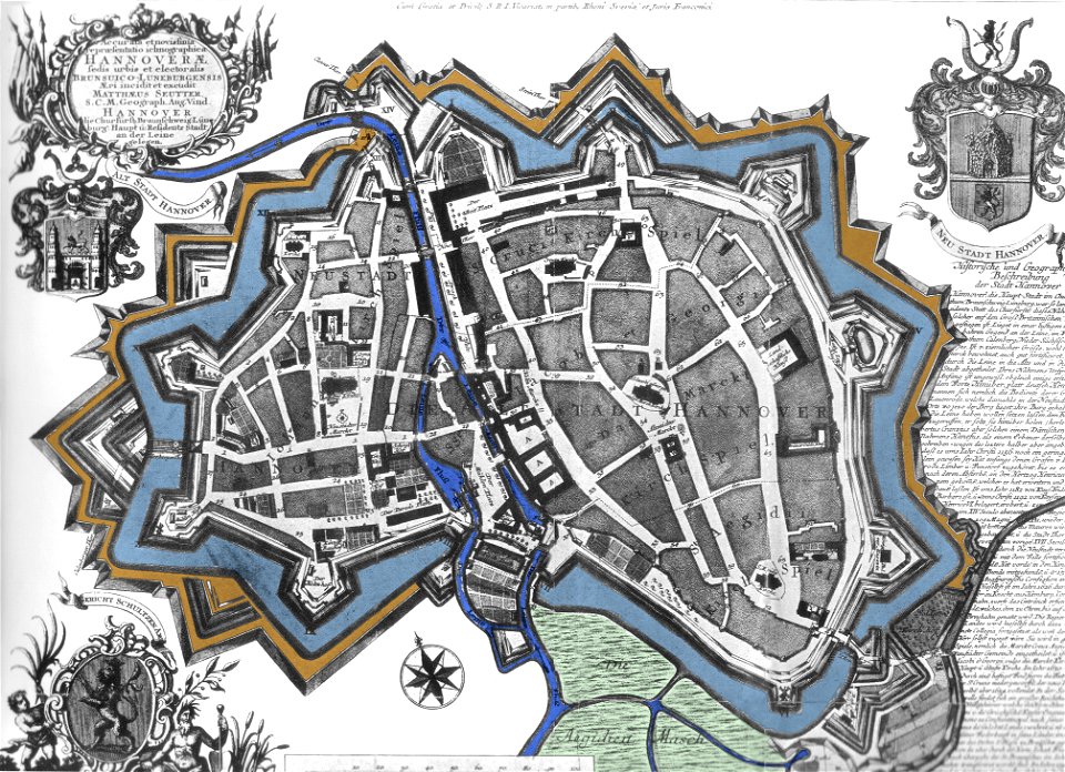
maps by matthäus seutter
city walls in hannover
maps made in the 17th century
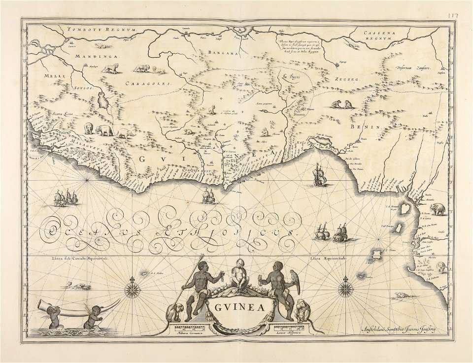
old maps of guinea
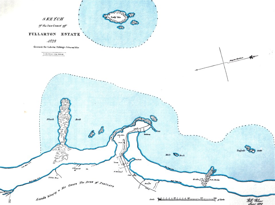
islands of scotland
maps of scotland
maps made in the 18th century
gerard valck
hawaii in the 1810s
louis choris
maps by nicolaes visscher i
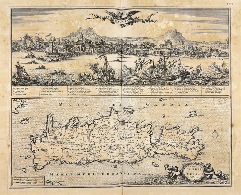
creta
cornell university library
political cartoons
dell'arcano del mare
harvard university
maps from the mechanical curator collection available to georeference
maps from the mechanical curator collection
images from bristol past and present (1882)
bristol
9301 - 9400 of 33,111
Next page
/ 332